Hiking with GPS brings together modern technology and pristine nature experiences. That may excite some and put others off.
But GPS can also be an enrichment for people who aren’t as interested in the stresses and achievements of hiking without modern technology. Read here about the advantages of GPS when hiking and what to consider.
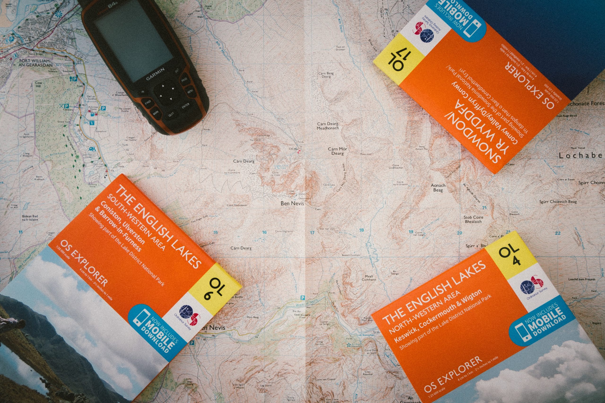
Photo: Drew Collins on Unsplash.
How GPS devices help with hikes
What is GPS
GPS stands for Global Positioning System and was developed by the US military in the 1970s. With the help of 24 satellites, this technology is used to determine viewpoints around the world. A GPS device receives signals from the satellites and calculates its own position.
Most modern cell phones are equipped with a GPS function, but for more precise navigation it is worth purchasing a special GPS receiver. Garmin is the absolute pioneer in their development and manufacture.
Using GPS while hiking
Various functions of GPS devices can be invaluable when hiking. As a digital map, a GPS is an excellent tool for orientation and navigation. Nevertheless, there are a few things to consider when bringing it on hikes in order to use this technology sensibly and to reduce risks.
The advantages of hiking with GPS include an exact determination of your own position, the recording of routes, the display of hiking routes, the marking of certain points, geocaching and the display of the elevation profile and the total route.
Positioning
In contrast to hiking maps, the GPS device shows its own position. This saves the constant comparison with landscape features and eliminates uncertainties with regard to the point of view. You can set the GPS display so that it either points in your own direction of travel or is constantly facing north.
Route recording
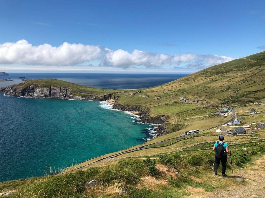
GPS devices record your movements and save it. This can have various advantages. So you can follow your own route and upload it as a new hiking trail and share it with others. Beyond hiking trails, you can mark new routes or combine existing paths into a new route.
Detailed digital maps help to avoid steep climbs or dangerous spots such as cliffs in difficult terrain. If you get lost or lose something on the way, you can also retrace your steps.
Follow the routes
There are many websites on the Internet, such as wikiloc and AllTrails, which offer free hiking routes to download. These routes are coordinates that are transferred to the map in the GPS device. This enables hikers to get to know interesting areas and routes in different countries without spending a lot of money on detailed, regional maps and studying them for a long time.
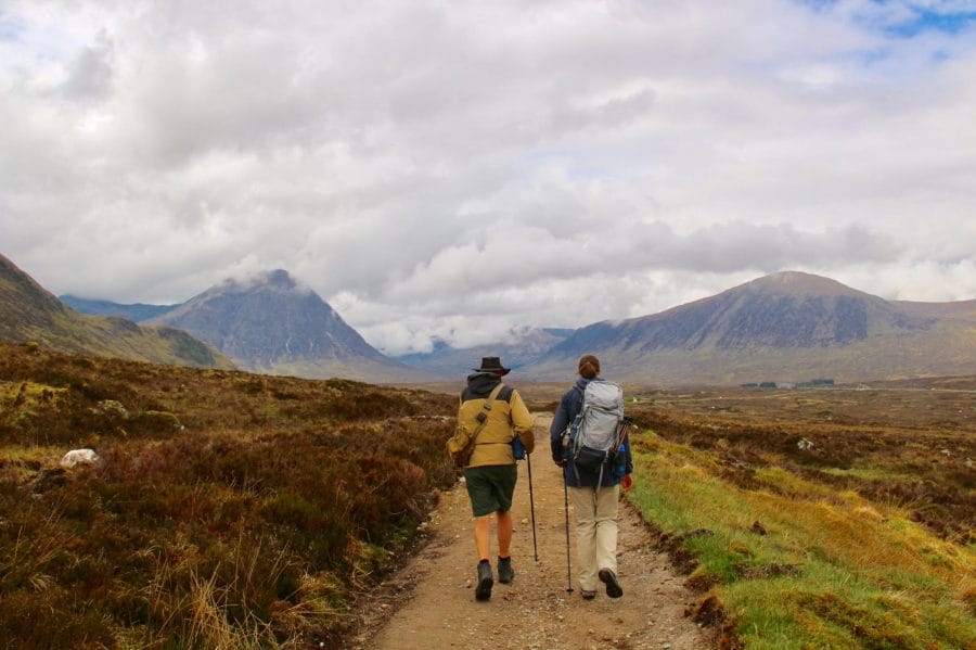
You can use a GPS route to check if you are still on the right track on marked trails such as the West Highland Way. This saves you from walking in the wrong direction if the markings are ambiguous or inadequate. However, it is also worth noting that popular national trails like this have very good signposting and therefore, it is uncommon to have any difficulty in finding your way.
Mark places
Being able to mark a place digitally helps to find a good campsite, for example. This is particularly helpful in restricted visibility due to darkness or fog.
Geocaching
Geocaching is the modern form of treasure hunt. On the homepage you can find out which objects are hidden near you. You will then be guided to your destination by the GPS coordinate and you will be rewarded for your navigation skills.
Display of the altitude profile
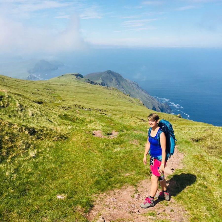
When you have loaded a route onto your GPS device, it not only shows you (depending on the model) how long the entire route is, it also creates an altitude profile. Especially on strenuous climbs, it is good to know what lies ahead.
GPS or map and compass?
So can GPS receivers replace maps and compasses on hikes? Mountain guides recommend not just relying on digital navigation. Although GPS device maps are preferable when it rains heavily and your map flutters away, a combination of both is probably best. Maps in combination with map cases or waterproof maps can also help with these issues.
If you want to get an overview of your surroundings, try to transfer your position from the GPS device to the map. By zooming in and out, you can choose a scale similar to that on the map and use landmarks to see where you are on the map.
Tips and instructions for reading hiking maps can be found here.
Tips: what should be considered?
- Before using GPS to navigate on a hike, it is important to know that satellite reception can be disturbed. Fog, canyons, deep forests or mountain ranges can all mean that the determination of your position becomes less precise, fails or takes longer.
- Please also note that the power consumption of a GPS receiver can be relatively high. It is advisable to always have spare batteries with you and to keep an eye on the battery indicator.
- GPS devices are equipped with a standard map when they are purchased. For hikers, it is strongly recommended to download more detailed maps. Open Street Map, for example, offer free digital maps that have been put together by users.
Conclusion
Overall, a GPS device offers many advantages for hikers. Even for those who prefer to stay away from screens in their free time in nature. However, this technology also does not replace skills such as map reading, it complements and enriches them.
