Welcome to Hillwalk Tours – Walking Hiking Blog. This post is a continuation of an earlier post you can read more about over in our article about the “7 Pieces of Irish History You’ll Only See Hiking in Ireland.”
Mass Rocks
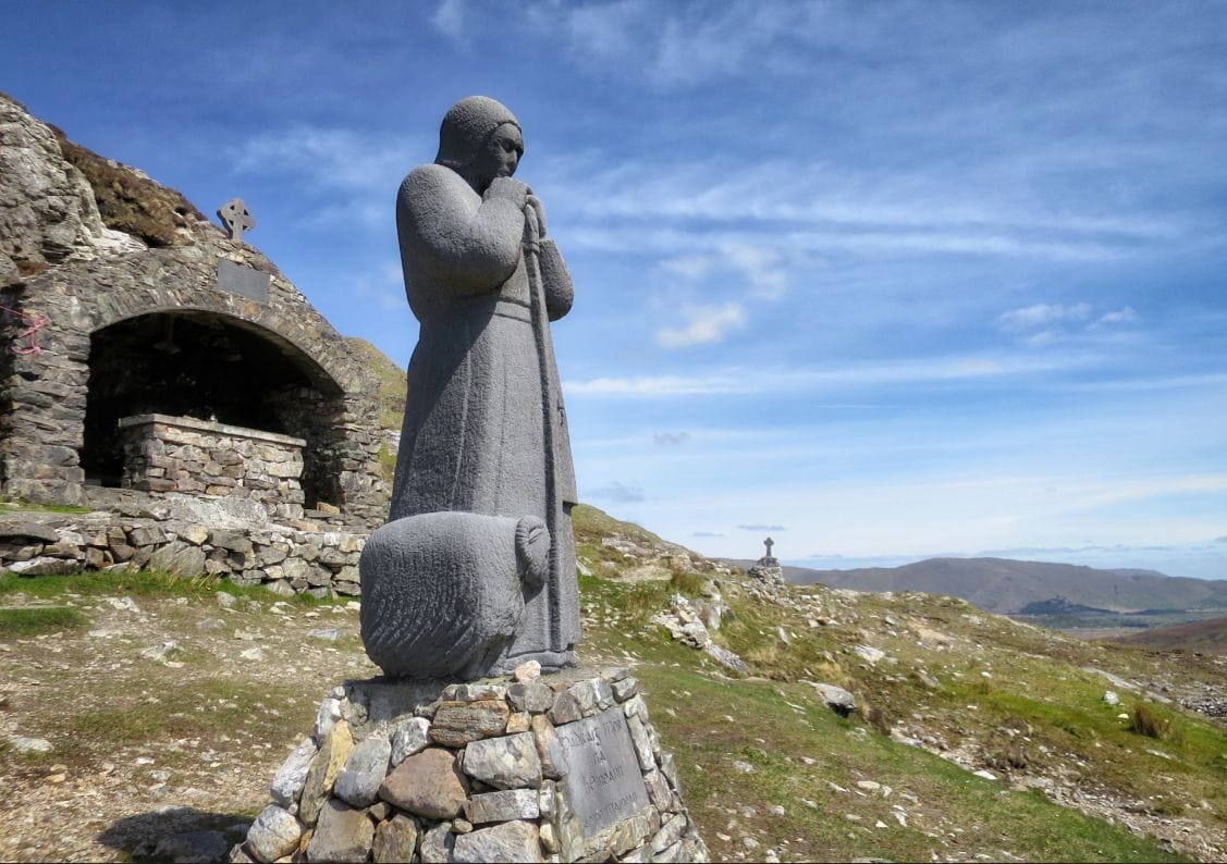
For centuries in Ireland, especially during the Cromwellian period, devout Catholics were forced underground. The counties of Connacht (Galway, Sligo, Mayo, Leitrim and Roscommon) became the last hold out for practising Catholics. Tuam, in County Galway, is today a seemingly insignificant town approximately 35 kilometres inland from Galway City. In fact classified as a city thanks to its two massive cathedrals and despite its small population, Tuam was once the ecumenical capital of the province of Connacht. However even in this last bastion of partial safety from the authorities, Irish Catholics were nonetheless forced underground.
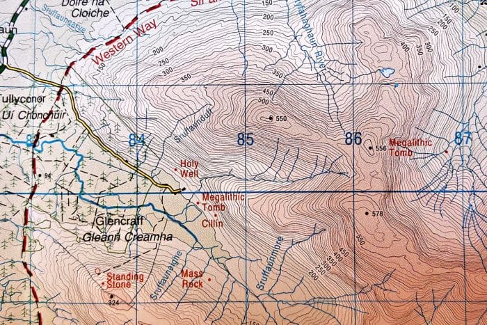
While not literally forced to take refuge in tunnels beneath the earth, they often did refrain to the hidden valleys and forests of western Ireland. Connemara in particular provided a safe haven for worshippers to secretly gather and hold mass. Large boulders were selected as meeting places where citizens would rendezvous to both profess and pass on their faith and traditions, far away from the prying eyes within the towns and cities. At other times a large stone would be gleaned from the ruins of a noteworthy church and lugged out into the hills where it was safer to meet. It’s thanks to this that the OSI maps of Ireland are littered with little red dots marking out mass rocks, especially along the West of Ireland route in Connemara.

Holy Wells
Continuing on from mass rocks, Connemara and elsewhere along the hiking routes of western Ireland are likewise full of old holy well sites. Again, with Catholics forced into hiding for many years in Ireland, ancient holy wells saw renewed popularity as followers of the religion needed somewhere hidden away in the hills where they could follow their associated religious practices in a clandestine manner. As mentioned in the last paragraph, this is why many hikes in the west of Ireland point out holy wells along the way.
Before modern medicine, and in later years when access to such advances was limited to the big cities, holy wells provided supposed cures to many ailments. These miracle cures are how many of these wells first came to prominence, with rural dwellers making the arduous treks across ditches and over muddy fields to access their rejuvenating waters. When you’re next out hiking in Ireland, pay attention to your map and the red dots with accompanying text will open up a world of Irish history to all of you history buffs and budding archaeologists out there.

Historic sites in Connemara – Photo credit www.nicholasgrundy.com
Coffin Stones
Once while I was on a tour through the hills along the West of Ireland route in Connemara, our guide brought my attention to a seemingly innocuous stone wall just to our right. “You see that there?” he asked. “That’s an old coffin stone. The pall-bearers would prop one side of the coffin on top of that so they could have a rest while lugging the thing up this steep track here.” He quickly continued “and over that way you have the former residence of the daughter of a particularly well-known American comedian from years gone by.” And so the history in the hills continued.
Burial Mounds
Continuing on with the history among the Irish hills, when you’re next out hiking along the west coast of Ireland, keep an eye out for the very tops of ridge-lines, hilltops, and mountain peaks. You might notice some strange protrusions, nodules perhaps, jutting out from them. These are in fact burial mounds, sometimes still exposed stacks of rock, but often also overgrown for centuries, thus becoming a part of the hills themselves. County Sligo is full of these giant rock cairns, but they can be found elsewhere along the west of Ireland as well. Famous figures such as Queen Maeve are said to have been buried in such places while other megalithic tombs date back even further. Again, there’s often more than meets the eye in the hills of Ireland.

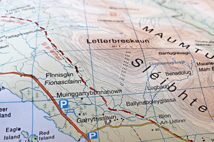
Muinggarrybunnahown in Connemara. – Photo credit www.nicholasgrundy.com
Irish Language Place Names
While you don’t need to set off on an Irish hiking trail to see Irish place names, you will find a prevalence of these along your walk. Following the West of Ireland route I personally found the names emblazoned on my map rather bewildering. For example, near Lough Inagh in Connemara one finds Muinggarrybunnahown, and further north I passed Tallaghnamuinga. The nearby Currywongan reminded me of my time touring the outback in Central Australia, where similar long-winded place names were derived from various Aboriginal languages.
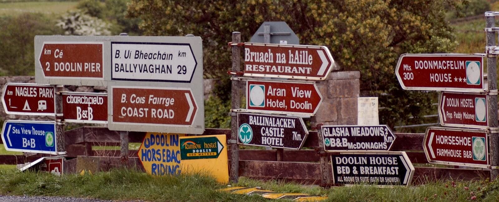
Should you find yourself hiking the Dingle Way, just remember that it is now often referred to exclusively as ‘An Daingean,’ so don’t make a wrong turn when looking for the trailhead! Likewise in County Galway there has been the occasional upset of late with the village of Claregalway only signposted as Bhaile Chlair, even on the new motorway road signs nearby. Many a confused tourist has apparently continued onwards to Tuam or even Limerick, having long since missed their turn off for Claregalway.
Visitors to Ireland often find the recent return in popularity of the Irish language to be very romantic. However, do not be fooled. Despite its renewed resurgence, the social experiment in reconnecting with our history has been fairly slow on the uptake. The truth of the matter is that despite the nation’s best efforts, there are in fact still far more speakers of Polish and even Lithuanian than there are of Irish itself!

We hope that you enjoyed this guide to more pieces of Irish history that you’ll see while on an Irish hiking trail. For more information on any of the above, just get in touch.


